The Cambridge Ring
Distance – 30km (18.6 miles)
Time - 7 hours 30 mins

A great full day’s walk, circling almost the entire City of Cambridge.
The walk takes you through Grantchester Meadows, Byrons Pool, Trumpington Meadows, Hobson’s Brook, Nine Wells, Cherry Hinton Hall, East Barnwell Nature Reserve, Coldhams and Stourbridge Commons, Cambridge Science Park and Eddington.
You will come across sights you have never seen before and areas of the City you didn’t know existed.
You may want to complete the walk in more than one stage, which is easy to do as it crosses all the major bus routes into and out of the City, but is best done in a challenging day of 6 to 8 hours.
The route is well served by Cafes and stop off points.
There is a route for the Cambridge Boundary Run, which although similar, is longer (Marathon distance) and takes runners some way outside Cambridge. However, as far as we are aware, this is the first time a walking circuit of Cambridge has been mapped keeping inside the A14 and M11. In this current time where there has been an incredible increase in numbers of people walking, it is a great addition to the variety of walks Cambridge has to offer.
The route follows public and permissive footpaths, wherever possible and quiet roads where not. When planning, we set ourselves the goals of keeping the route below 20 miles and inside the M11 and A14, which we have just about achieved.
As a circular route, you can start and finish the walk at any point you wish and complete in either direction . Parking is not generally a problem on the outskirts of town and buses are plentiful. For the purposes of this description, we have started at the nearest point to the Centre of Cambridge ‘The Green Dragon’ Pub in Chesterton and have travelled Anti-clockwise.
I have split the route into 4 sections, so that if you wish to complete the route in stages, it is perfectly possible.
Although these directions are as detailed as possible, we would advise that you always take a map to help find your route.
Please note, the Coldhams Common to Cambridge North Station section will follow the Chisholm Trail once it is opened in Autumn 2021.
Thanks to Ruth and Tom for road testing this.
Directions
Section 1
Chesterton to Eddington 6.6km
Start point, ‘The Green Dragon’ Water Street Chesterton. CB4 1NZ. (1)
(1) The Green Dragon is arguably the oldest coach house & pub in Cambridge. Housing famous people like M.P. Oliver Cromwell (1599-1658) who reportedly sat in the pub with his friends practicing their knife throwing skills into the fire lintel that can still be seen today.
J.R.R. Tolken (1892-1973) often visited the pub for inspiration for writing the likes of The Hobbit and Lord of the Rings.
Facing the Pub, turn right and follow Water street, through the bollards and onto Fen road.
At the small car park, join the path along the River Cam heading out of the City.
There will almost certainly be rowers and scullers vying for space with the fishermen and houseboats on this busy stretch of the river.
Just before the railway bridge, look out for a gap between the houses and nip through to rejoin Fen Road. (2)

(2)
Turn right then left, just before the railway crossing turn left along ‘Moss Bank’ follow to the end when it turns into a cycle and footpath.
Follow this to Cambridge North Station, follow the guided bus route until you reach the A10.
Cross over the A10 still following the guided busway. After 1.5km and before the A14 bridge, take a left turn, following a spur of the busway this soon runs alongside Kings Hedges Road. From here, follow the path alongside the busway until you reach Histon Road.
At the Histon Road Junction, turn left and cross the road.
After 150 m or so, take the path on the right signposted to Huntingdon Road (3) and follow this all the way as it turns into Whitehouse Lane.
At Huntingdon Road, cross straight over to enter the playing fields at Eddington.

(3)
Section 2
Eddington to Byrons Pool 9.1km
Follow the path to the left of the playing field. Take the left fork running behind the school and at the playground (4) turn right and join Eddington Avenue.
(4)
Turn left to Madingley Road and cross over towards ‘High Cross’
At the T junction, go straight over, down the steps and follow the path to the right of the lake.
Once you reach the end, turn right onto Coton Path. (5)
Follow this path until just before the Motorway crossing.
(5)
Turn left through a metal kissing gate and join a network of permissive paths. (6)
(6)
Follow the path along the left hand side of the field and parallel to the M11. Take a left turn to follow the hedge walking away from the Motorway, then a right to walk parallel to the M11 again.
At the end of the hedge take a left then immediately right. Avoid the temptation to follow the footpath signs leading past the red and white pole.
Follow this path again keeping the M11 on your right until a wide track/footpath crosses in front of you
Turn left here across the field then continue along the track between the hedges until you reach Barton Road.
Turn right and follow the path to reach Barton Road.
At Barton Road, turn left and look out for the footpath sign after about 100 m on the other side of the road.
Cross over, go through the gap in the hedge.
Turn left and then right, following the field boundary.
Cross the footbridge and turn right. Follow the path to a T junction where you meet a track.
Turn left heading for the Rugby posts of Cambridge Rugby Club. Skirt round the right hand side of the Rugby pitches, with the hedge on your left until you get to Grantchester Road.
Just before the road, turn right and walk along the edge of the field (7) until a signpost leads you across the road into another field (8)
*Grantchester is said to have the world's highest concentration of Nobel Prize winners, locals and tourist often travel from Cambridge by punt to picnic in the meadows or take tea at The Orchard.
Grantchester Meadows features in the poem "Watercolor Of Grantchester Meadows" by Sylvia Plath, and a song of the same name by Pink Floyd.
(7)
(8)
Section 3
Byrons Pool to Cherry Hinton Hall 8.1km
Head back the way you came, using the higher path rather than the riverside one.
After about 50m, turn right to exit the woods onto Trumpington Meadows (9) then head for St Mary’s Church at the far left hand end of the Meadow.
(9) *Byron’s Pool is the former millpond of Trumpington Mill, which is the site of the Reeve’s tale, by Chaucer. The mill disappeared many years ago. The current weir was built after the floods of 1947. A stream to allow fish to pass upstream was added in 2000. Lord Byron is reputed to have swum here when a student at Cambridge and Rupert Brooke when staying at the Old Rectory in Grantchester.
To do this, follow the path left and just after a wooden carving of a bird, turn right and then left on the path at the top of the ‘meadows’ in front of the houses.
Go past the rangers office and continue until you reach the road.
Turn right along the road, until you see the parish church on your right.
Once at the church, follow the road past Anstey Hall taking the right fork where the road splits.
You will see a Waitrose supermarket on your right if you are in need of provisions (or a loo)
Cross over the A10 at the top of the road, follow Shelford Road for 100m and take the footpath on the left hand side which leads through the allotments and Community Orchard (10).

(10)
At the guided busway, go straight across, past the Clay Farm community gardens and over the blue bridge (11) onto Hobson’s Park.
(11)
(12) *Nine Wells is a historically important site containing several chalk springs, it form the source of the Hobson Conduit, which was built in the 17th Century to provide fresh water for Cambridge
Turn immediately right between the houses and the lake, then follow the path towards the road bridge in the distance (12).
Go up onto and over the bridge. At the roundabout take the first left back towards the railway line, then under the bridge to pick up the track heading towards Shelford.
Keep on the track as it turns left for the woods, which is Nine Wells nature reserve.
Cross the footbridge into the reserve and take some time to explore. A series of springs, feeding Hobsons Brook, which has provided the City of Cambridge with fresh water for centuries.
Exit at the far end (left hand gate) of the reserve and follow the path eastwards. There are two parallel paths here. One between two high hedges, and one to its right, which follows the field boundary. Either of these are fine.
At the end of the hedges take a sharp left towards the new housing estate.
At the end of this path, turn right either following the field edge path, or the parallel surfaced cycle route, just inside the housing development.
These eventually join into the cycle track, which you should follow to reach Babraham Road.
Cross over and turn left here then right along Wort’s Causeway.
From here, the next part is on a series of suburban roads. Follow, Fields Way, Bowers Croft ( left fork) taking the path through to Almoner’s Avenue and then right onto Beaumont Road, all the way to Queen Edith’s Way.
Cross over, turn right, then first left on Spalding Way.
After 200m turn right on Tillyard Way and right on Gunhild Way
At Queen Emma School (13), turn left and follow the path to Cherry Hinton Road, crossing to reach Cherry Hinton Hall Park.
(13)
Section 4
Cherry Hinton Hall to Chesterton 6.5km
Follow the road through the park, then take the path across the main open area to the left of the Hall.
At the far end of the park, exit via a gateway (14) and turn right.
(14)
Follow ‘Snakey Path’ and along the brook crossing to the left hand bank (15) and follow the path onto Burnside.
(15)
At the end of Burnside, keep following the path beside the brook (16) to reach Sainsbury’s. (Another potential refuelling and toilet stop)
(16)
Walk through the car park and exit to the right hand side of the petrol station.
Turn right on Coldhams Lane, under the bridge, then left into Nuttings Road.
At the end of this Cul de Sac, there is a gate into East Barnwell Nature Reserve (17) (18)
(17)
(18)
Follow the path through the reserve, keep the pond on your right and exit onto Barnwell Road
Cross this road turn right and then first left on a road leading to Coldhams Common.
Once through the barrier (19), turn right and follow the path through the woods.
(19)
Here you rejoin the brook and follow downstream until you reach the Car Park at the Abbey Sports Centre.
Go through the Car Park, turn left over the bridge then right, keeping the ‘all weather’ pitches to your left.
Cross the brook again using the bridge and follow the path (20). Bear right when you meet the surfaced path, walking alongside Cambridge United Football Club.
(20)
At Newmarket Road, you may want to make a short detour (50m left) to visit the Leper Chapel, the oldest building in Cambridge, dating from 1125 AD.
The main route turns right and then left into Ditton Walk. Follow this for 500m through the bollards then left onto a footpath, leaving the road as it bends right.
Shortly along this path is a gap and footpath to the left with two wooden bollards at its entrance (21). Take this to reach the open space of Ditton Meadows.

(21)
Turn left to follow a faint path and over the footbridge at a gap in the hedge. (This area can be very boggy at certain times of the year)
Once through, head left to cross the brook on a walkway and climb the footbridge over the main Cambridge to Kings Lynn railway line, reaching Stourbridge Common
On the other side, turn right to reach the River Cam then follow upstream to the ‘Green Dragon’ bridge.
Cross over the Bridge (22) to arrive back at the pub where you started your walk. If it is open, treat yourself to a well deserved drink.
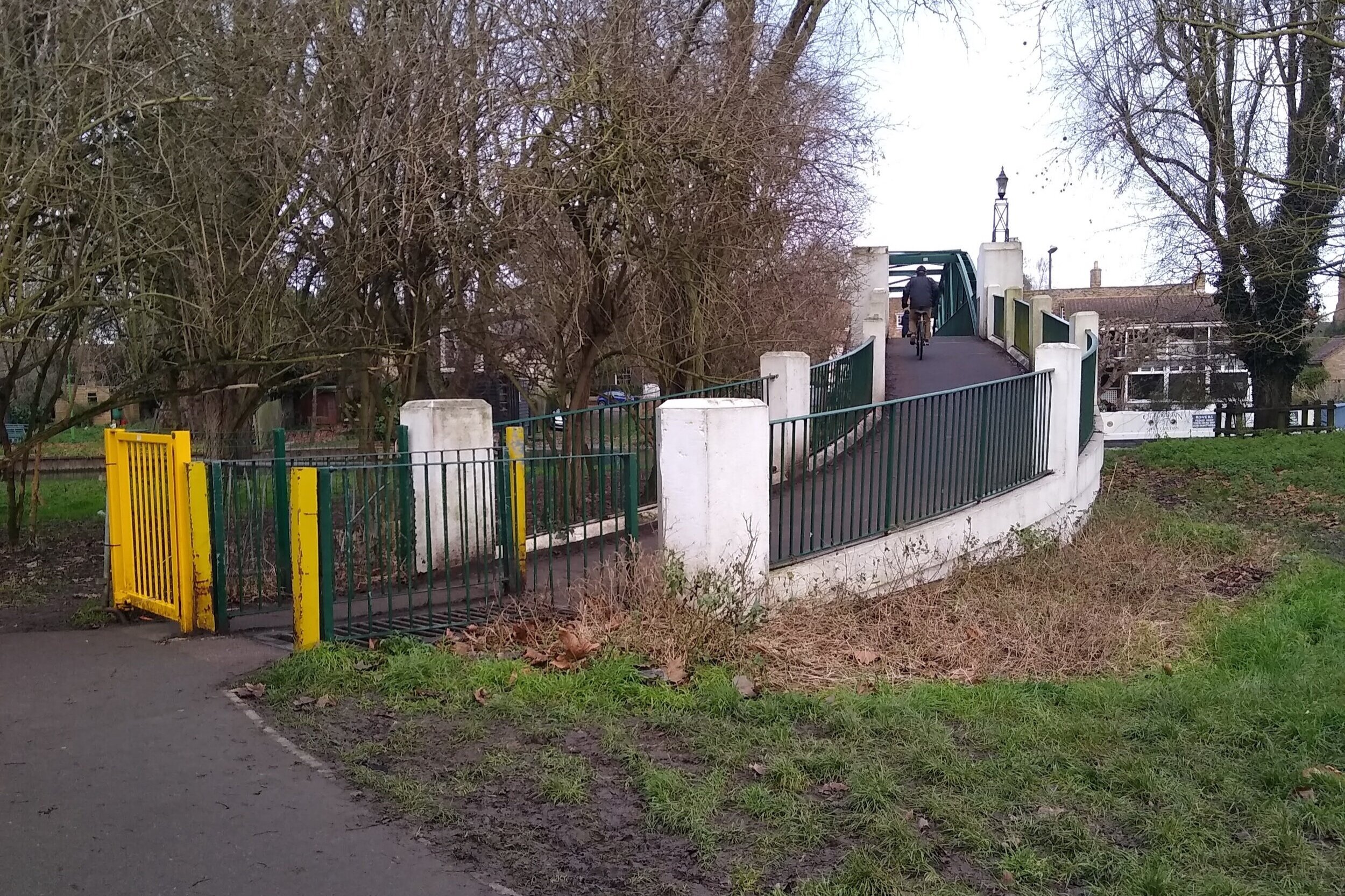
(22)